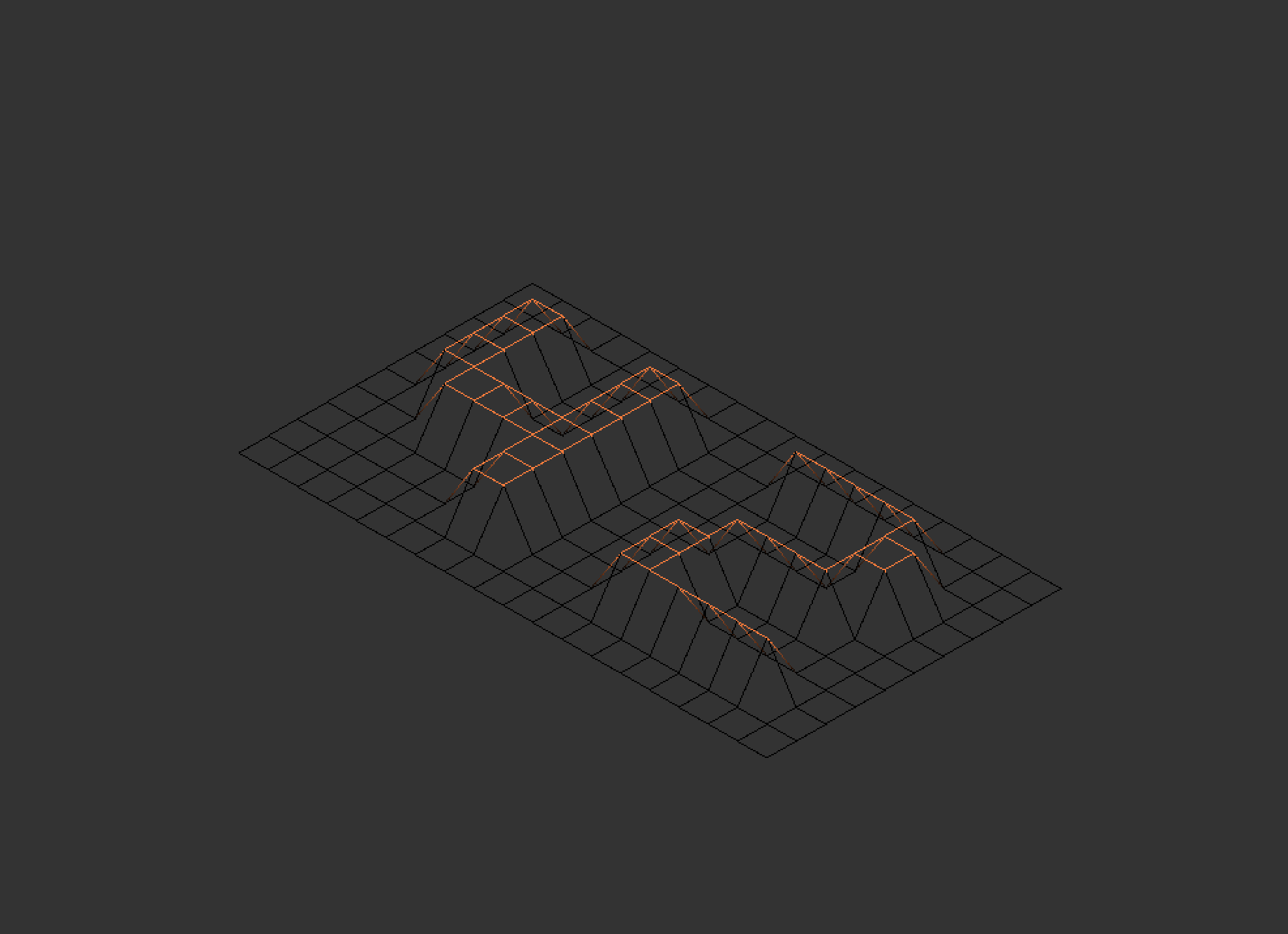
In this project we are creating an wireframe model for 3D representation of the given map. It does not include a map parser, so the map used should be valid. Here an example with.
You can also change the projection of the object like this :

W- upS- downA- leftD- right
- ↑ - zoom in
- ↓ - zoom out
- ← - depth up
- → - depth down
P+1- normal projectionP+2- fisheye projectionP+3- curvliniear projecitonP+I- partymode (seizure warning!)P+O- partymode off
- clone the repo
- type
./fdf /test_maps/any_map.fdf - you can quit with
Esc